21st June 2026
A crossroads technical document has come to light which sheds more detail on the proposed drilling across the Brisbane Ranges.
Crossroads Technical Report February 2026
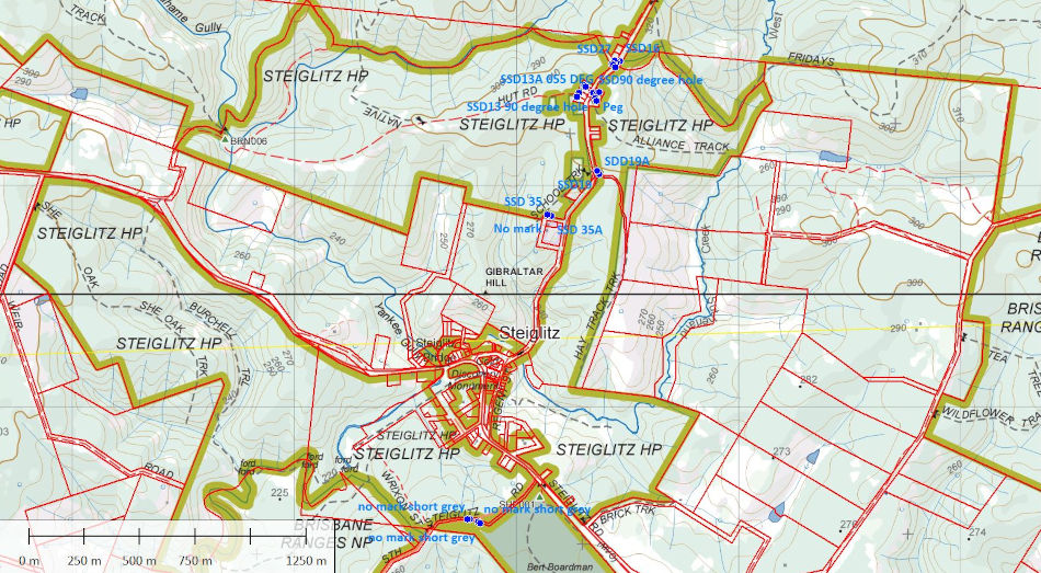
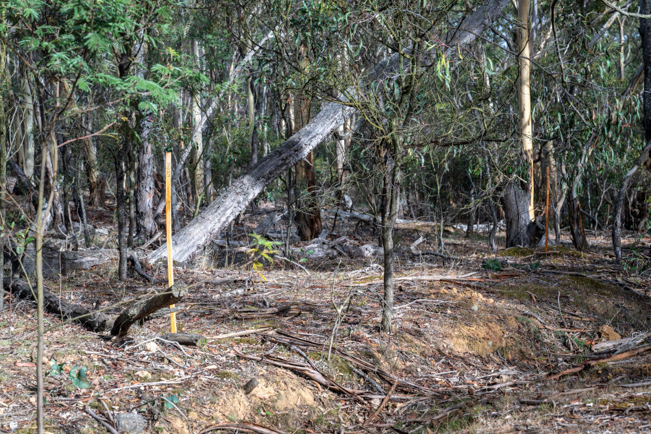
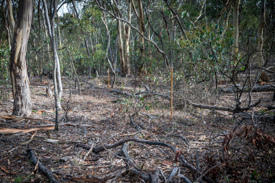
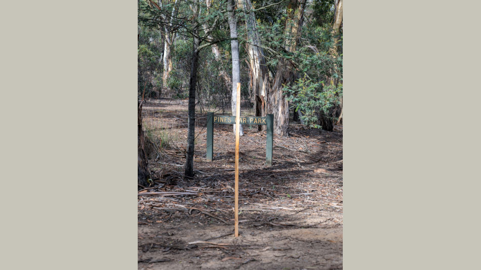
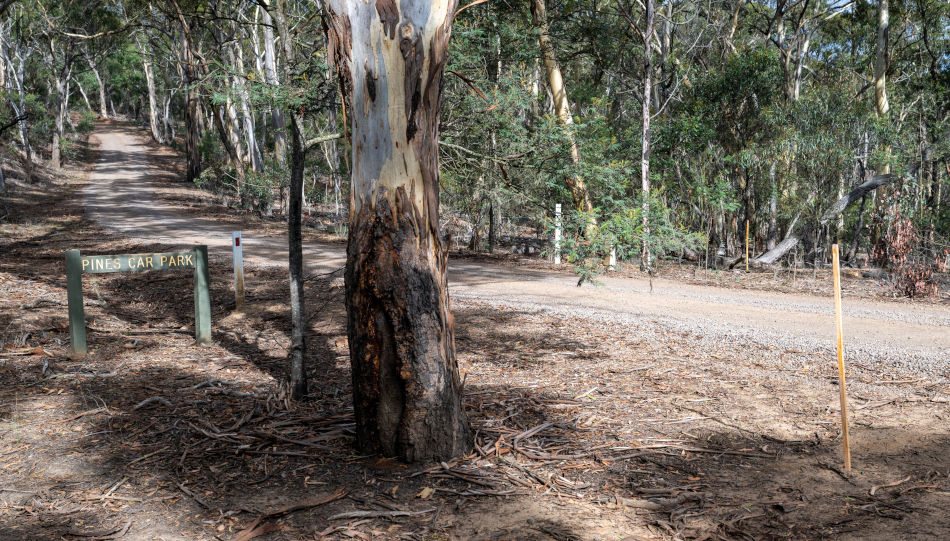
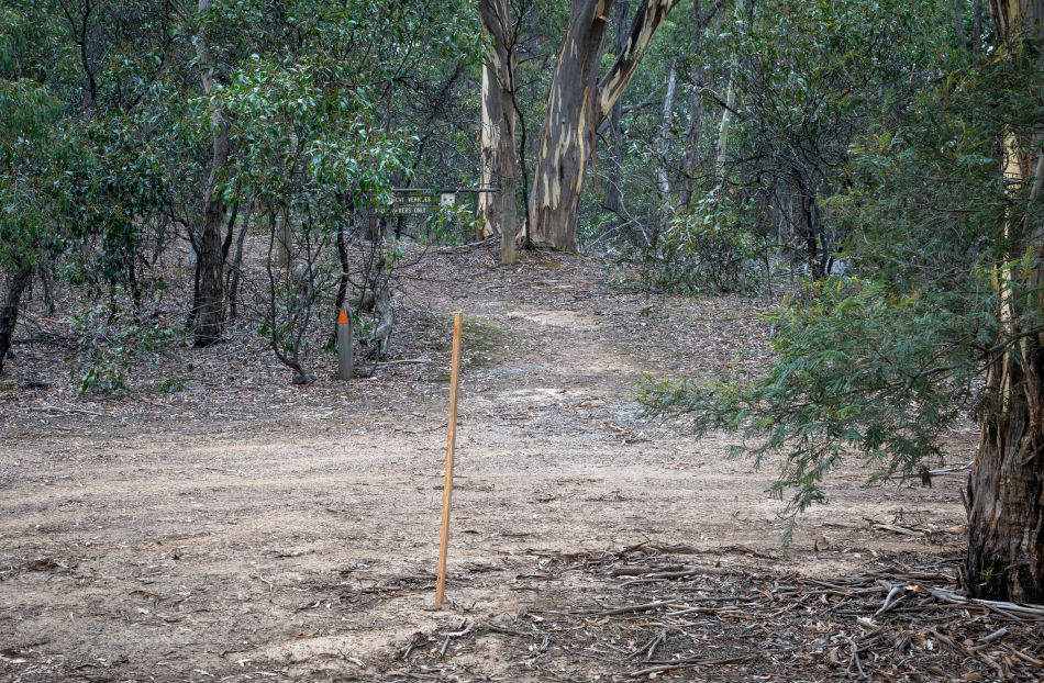
The document recommends an extensive program of 59 drill holes which includes the locations of the drill site stakes that have appeared across the Steiglitz Historic Park and walking tracks.
More concerning is that 11 drill sites have been proposed within the Steiglitz Township Heritage Precinct itself.
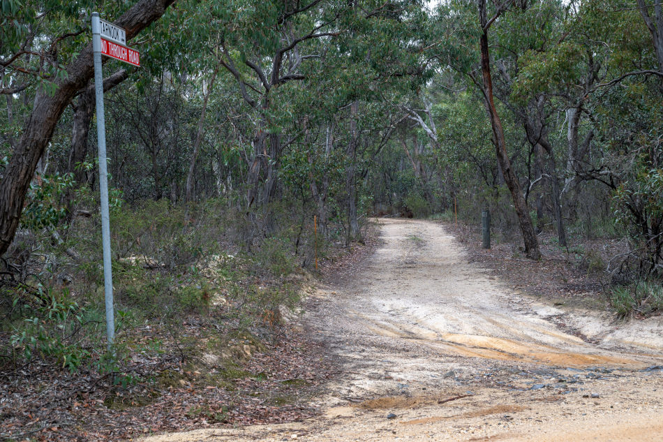
The intention to drill within the Heritage Precinct has been further supported in more recent 9th May 2026 Crossroads Q2 2026 Corporate Presentation which includes a photograph that was taken at one of the nominated locations on the township’s main street, Regent St and is labeled "Potential drill sites".
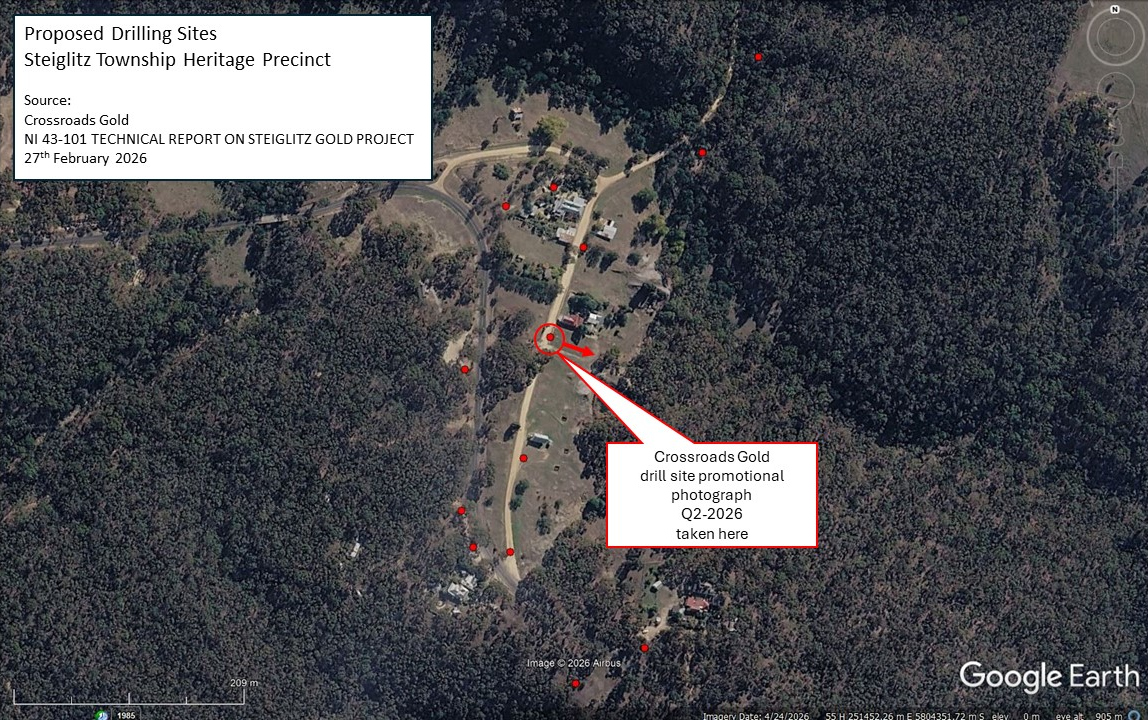
Proposed drill sites in Steiglitz township
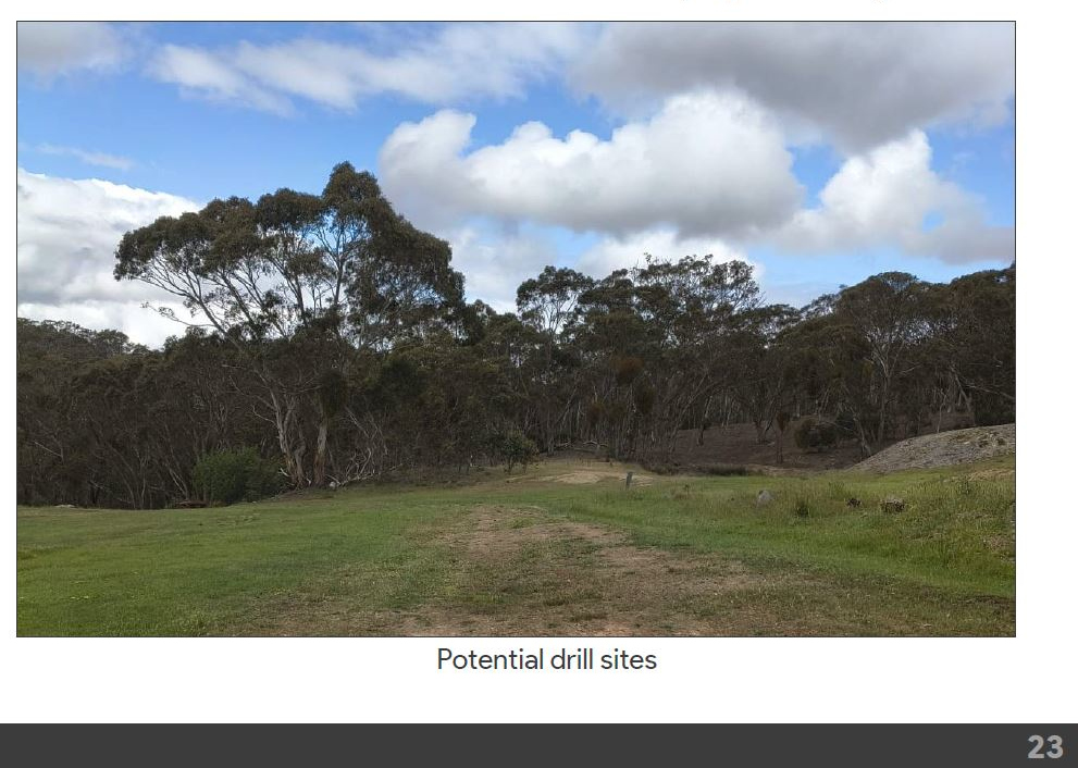
Extract from Crossroads presentation
12th June 2026
MP Ella George met with local residents from Lara, Anakie and Steiglitz to discuss concerns about the potential for mining and resource extraction in the area.
"The Brisbane Ranges - one of the most beautiful parts of the Lara electorate - is home to Victoria’s most biodiverse wildflowers, including flowers that have disappeared from other parts of the state. And the Steiglitz Historic Park holds some of Victoria’s gold mining history, as a once bustling mining town of the 1860s. These beautiful, historic places deserve to be protected - and I stand alongside local residents to ensure that they are." MP Ella George on Instagram
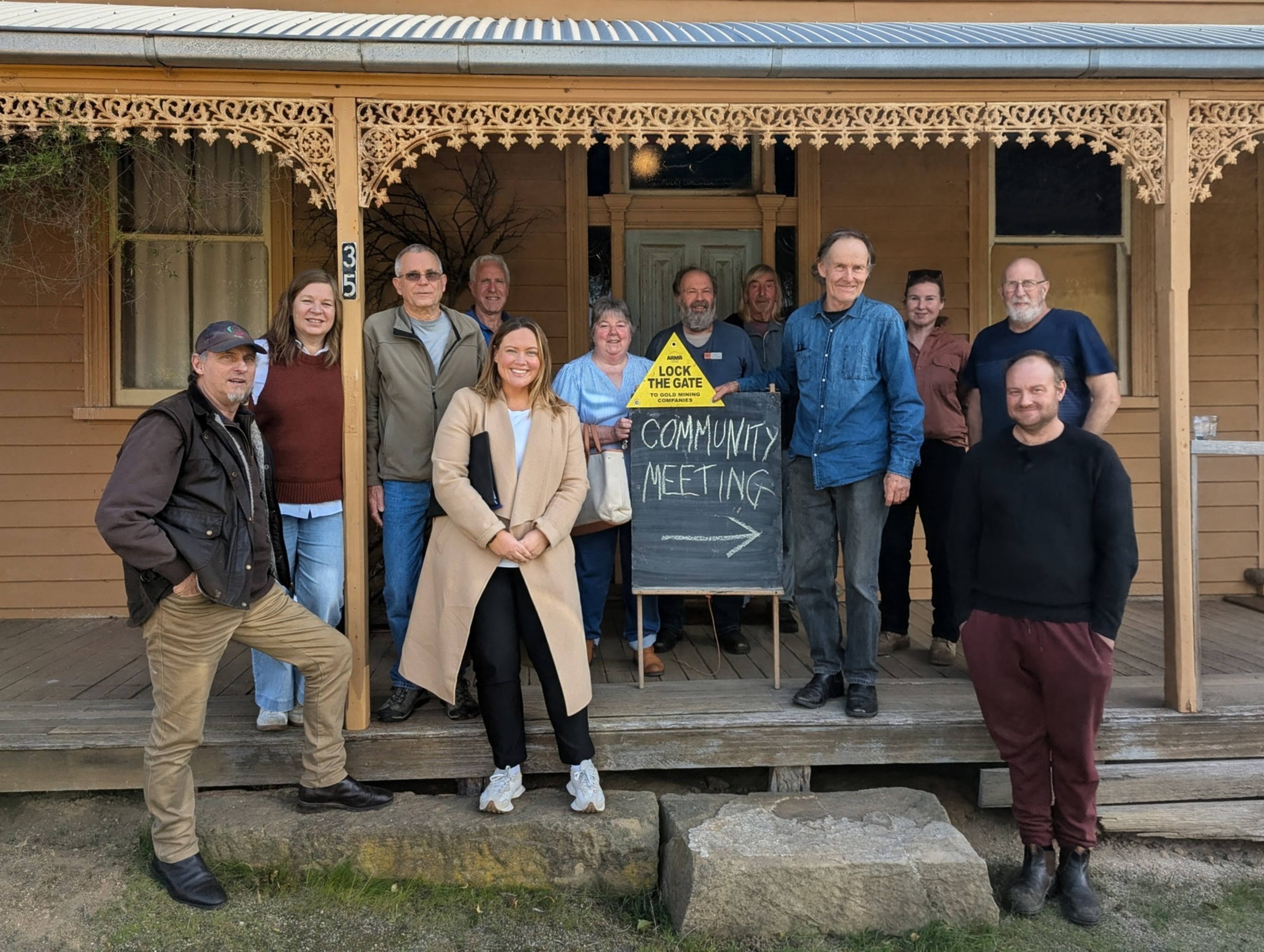
Steiglitz local meeting with MP Ella George
31st March 2026
Crossroads Gold published an announcement that they had commenced soil sampling on their licence area.
2026-05-14-Crossroads-Gold-Steiglitz-Soil-Samples.pdf
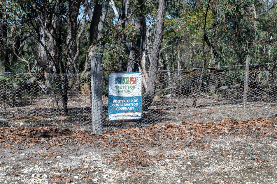
The maps in the announcement show a number of soil sample locations on least one private property, and along the South Steiglitz Road Reserve bounded by a second private property and the Brisbane Ranges National Park. None of the landowners of these properties nor the managers of the crown land parcels had given consent to exploration, and in some cases, it had previously been denied. Inspections over the sites identified numerous covered holes in the sampling locations that were indicated on the Crossroads published maps Two of those properties are covered by Trust for Nature Covenants and are sensitive to soil disturbance. Complaints were lodged with Earth Resources who then inspected onsite. Crossroads provided Earth Resources with information regarding their sampling program that "indicated that the sampling program did not include any activities on private land". Earth Resources investigators subsequently also advised "it could not be conclusively determined that the observed disturbance was the result of exploration activities regulated under the Mineral Resources (Sustainable Development) Act 1990" and pronounced the investigation closed. It has not been explained how the disputed locations, or the associated analysis results of the samples taken there, came to be recorded at those positions on the Crossroads published maps. The closure of the investigation is being challenged.
25th March 2026
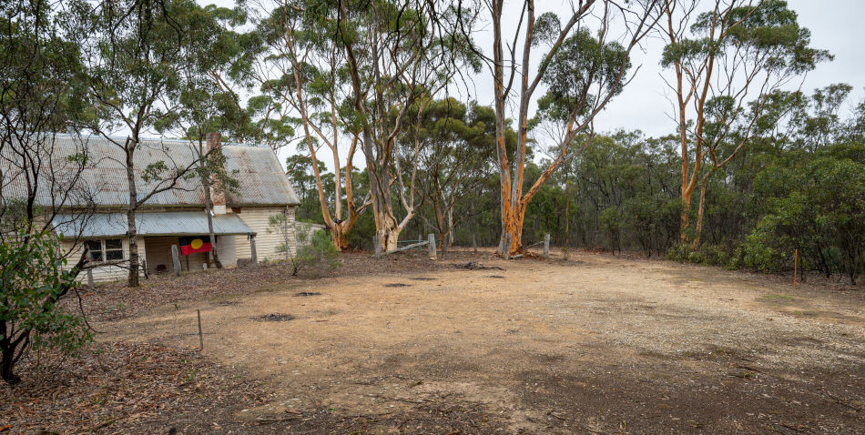
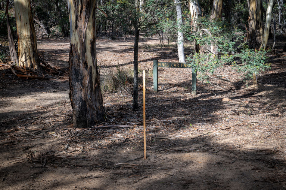
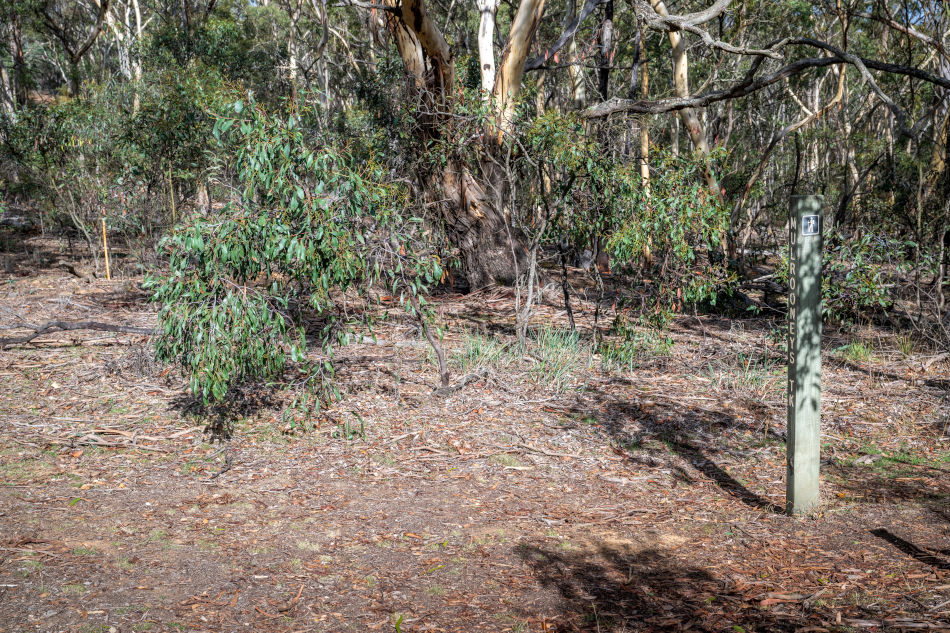
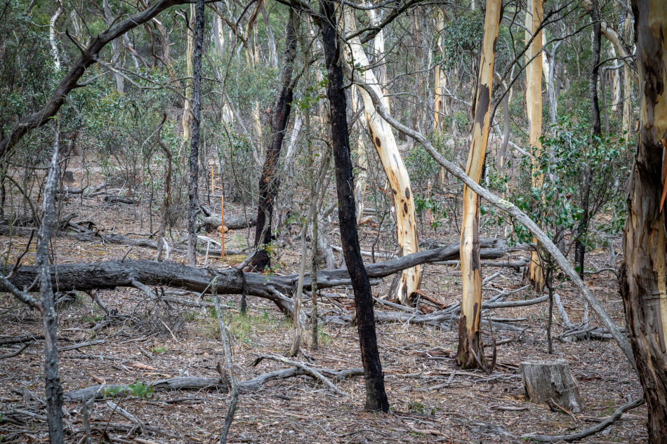
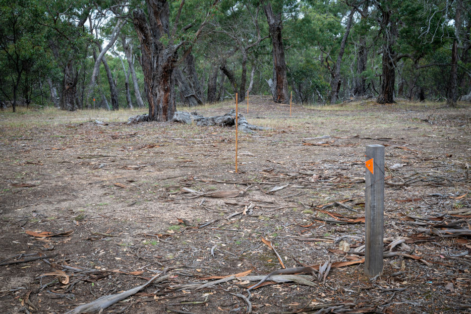
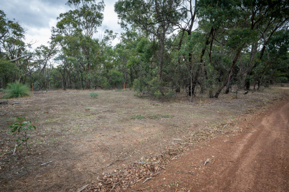
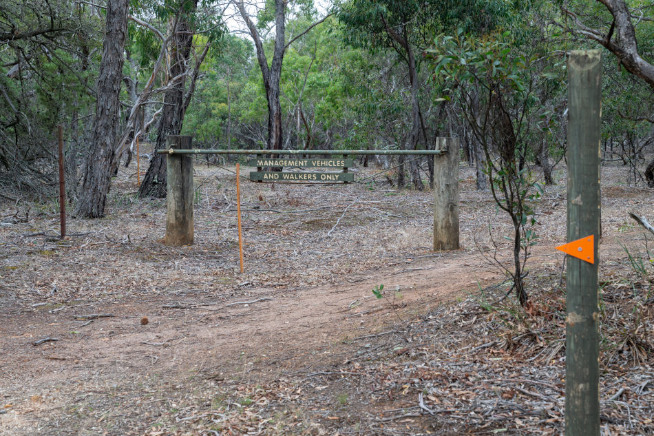
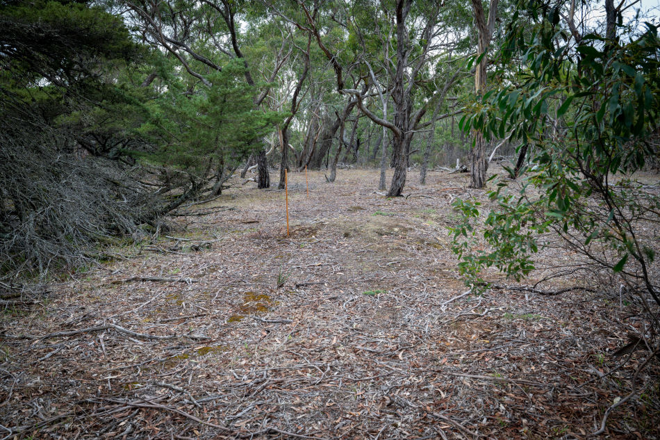
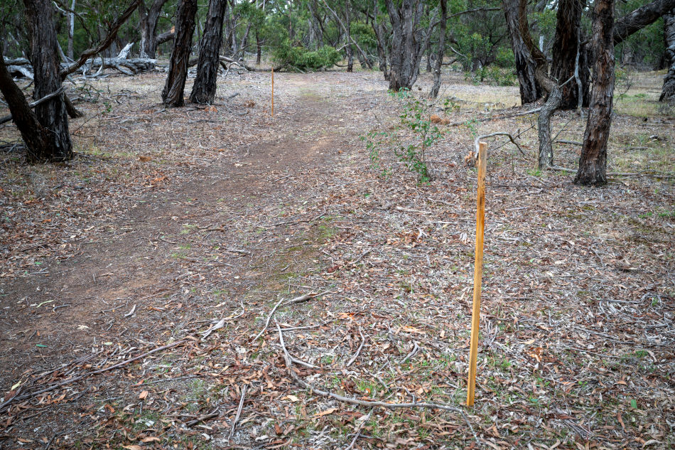
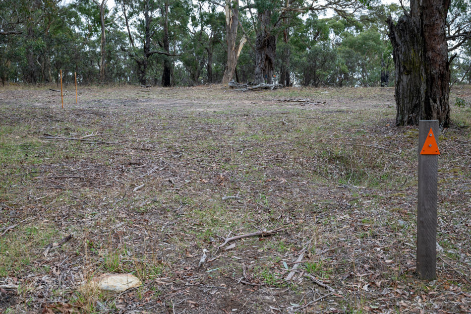
Crossroads Gold staked out their proposed drill sites across the Steiglitz Historic Park. They are currently negotiating approval for the Work Plans for these sites with Golden Plains council, Parks Victoria, Resources Victoria/DEECA and Heritage Victoria.
The sites are staked out across natural park bushland, on the top of walking trails, in visitor car parks and on narrow bush tracks. Many of them are staked out over the site of the historic New Chum township settlement
Crossroads believe those areas are forgotten sections of Crown Land road reserves and freehold blocks that they are legally entitled to enter, even though all of them have practically formed part of the park since 1890's.
Proposed Drill Site Photos
Drill Sites Map